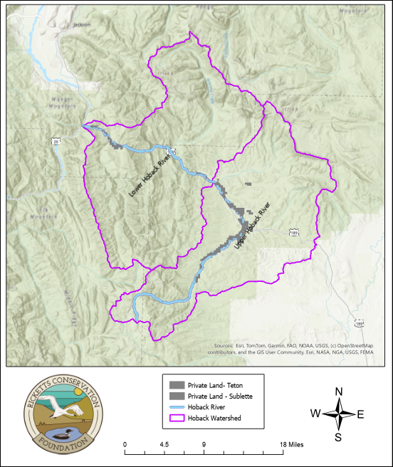
The Hoback River is one of four tributaries that flow into the Snake River before it reaches the Idaho border. Draining approximately 360,000 acres (Figure 1), the watershed includes National Forest lands and over a hundred private properties that lie along its 55-mile course. Through partnerships with local conservation districts, RCF is helping collect long-term water quality data intended to inform us if water quality starts to decline.
In 2026, RCF partnered with the Sublette County Conservation District (SCCD) to monitor water quality at several locations in the Upper Hoback Basin. SCCD has collected various chemical and physical parameters in the Basin since 2001. Each site is sampled approximately 4 times per year by SCCD. Physical water properties measured include dissolved oxygen, pH, temperature, turbidity and conductivity. Among the chemical water properties measured are chloride, anion/cation balance, hydrocarbons, total dissolved solids, sulfate, and calcium. Results from these tests tell us if the water is safe for drinking and its impact on aquatic life.
We also sample biological data. Aquatic life flourishes underwater and the types of organisms that live there indicate how clean or how dirty the water is. We collect these samples in the fall, at riffles where shallow, swift running water creates an oxygen-rich environment. Staff go to each monitoring location and delineate a riffle. Using a net to determine the area to sample, they scrub rocks and then send the specimens to a third-party laboratory for identification. Over time, this robust dataset tells a story about water quality in the Hoback Basin. Check out these videos produced by SCCD that show the procedures they use for physical and chemical parameters and biological sampling.
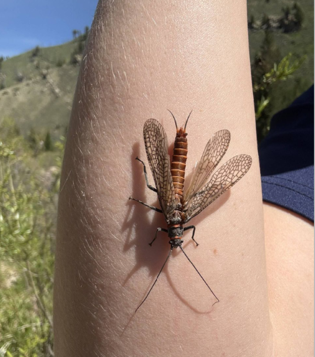
This year, we discovered a treasure trove of underwater life! Early in the spring, we experienced the great Salmonfly (Pteronarcys californica) hatch (Figure 2). These large orange stoneflies spend three to four years crawling among rocky river bottoms in cold, well oxygenated water before migrating to the banks to hatch.
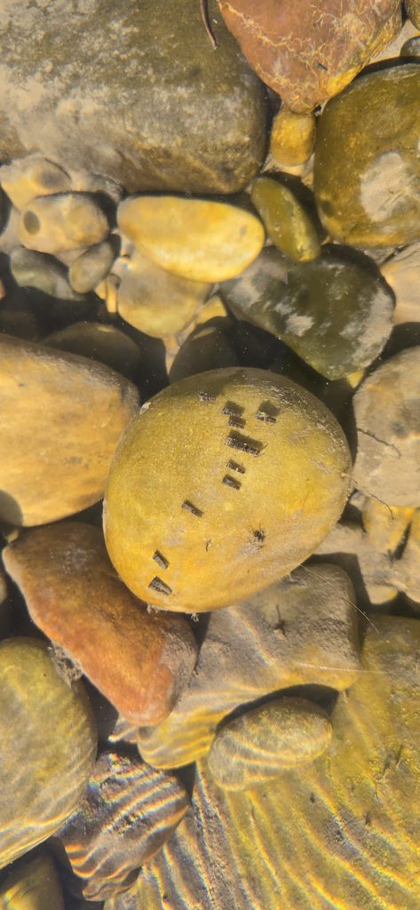
Caddisflies are another indicator of good water quality. The aquatic larvae build protective cases (Figure 3) using silk to bind gravel, sand, twigs, and other debris.
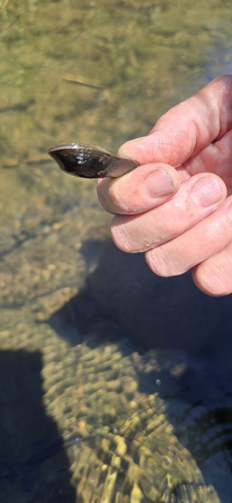
Lastly, we found the rare Western pearlshell mussel (Margaritifera falcata)at one of the monitoring sites (Figure 4). Some of these mussels can live over 100 years! Larval Western pearlshell mussels (formally known as glochidia) commute throughout water systems by attaching themselves to a host salmonid. Once they detach from the host fish, mussels stay within a small area on the stream bottom, using their muscular “foot” to travel and bury themselves in the sediments and gravel at the bottom of the stream. Mussels pump large amounts of water through their bodies as they filter the suspended particles of organic matter that they feed on. They therefore improve water quality and are also indicators of it.
Do you want to know more about what happens beneath the water in our Wyoming rivers and streams? Check out this publication by the University of Wyoming.
RCF will continue working with partners to monitor the water quality of the Hoback Basin. We are excited to share our findings.